Kentucky’s Mesonet system can save lives during extreme weather
Dawson Daniels/Caverna High School
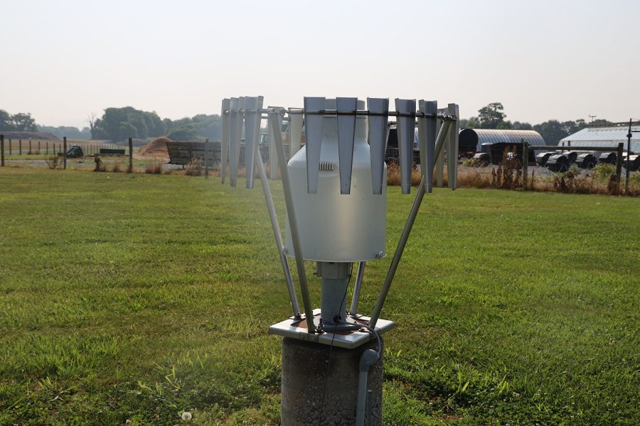
A rain gauge stands under s dry sky at a weather station on the WKU Farm June 8. The gauges are one of the main tools used to track weather patterns through the Kentucky Mesonet.
Each site in the Kentucky Mesonet’s network of weather stations takes up just a small fraction of an acre, but the impact it can have is huge.
The Mesonet is a group of 78 weather stations across the state that can help save lives as it frequently transmits data for extreme weather events, including tornadoes, droughts and blizzards.
In December 2021, a historic outbreak of tornadoes took place in Kentucky and other surrounding states. As a violent EF-4 tornado was heading straight towards Mayfield, the seat of Graves County, a Mesonet site there recorded wind speeds of 107 miles per hour.
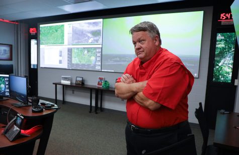
Along with the radar used by the National Weather Service in nearby Paducah, the Mesonet helped them declare a tornado emergency for Mayfield, said Shane Holinde, the outreach manager for the Mesonet at Western Kentucky University in Bowling Green.
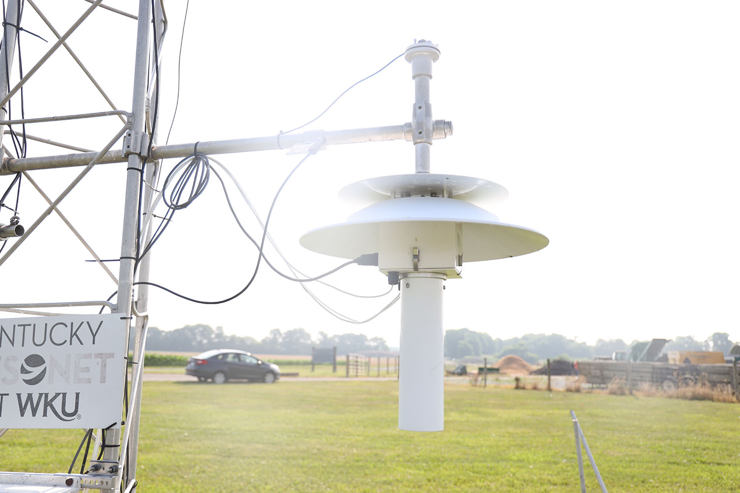
Each site has a 33-foot-tall tower equipped with a variety of weather tools. Holinde said those tools are used to collect data on the local temperature, wind speed and direction, the dew point and more. They also have webcams that let meteorologists see a live look at a weather situation. In the next three-to-four months, these webcams will all be upgraded to where they can update every five minutes.
Each tower and its equipment costs between $40,000 and $50,000, Holinde said.
A device called an anemometer records the wind speeds and the wind’s direction.
There are probes all around the tower that measure temperature, relative humidity, dew point and more.
“Those positions are key because it helps us see if there is any temperature inversion going on from top to bottom,” Holinde said.
Additionally, 60 of the stations have soil probes placed at depths ranging from 2 to 40 inches to measure the temperature and moisture in the ground, he said. These findings are critical to the agricultural community. A lot of farmers will look at the Mesonet website for the soil temperature and moisture to determine when to plant crops, like tomatoes, soybeans and tobacco.
There is also a rain gauge that measures the amount of precipitation that has fallen in a given time.
The solar panels measure sun intensity. The higher the number, the more intense the sun is. It also determines the UV index, which in turn determines how fast someone could get sunburned outside.
Everything that the tools do is calculated and stored in a data box on the tower. It is then sent to the Mesonet office at WKU to then be placed online.
Besides news stations and the National Weather Service, the Mesonet is also monitored by the U.S Division of Forestry. They use the data to monitor drought conditions because of a threat of wildfires, especially in parts of the state that are experiencing a drought.